Agriculture & Food
Agriculture, food security and crop health
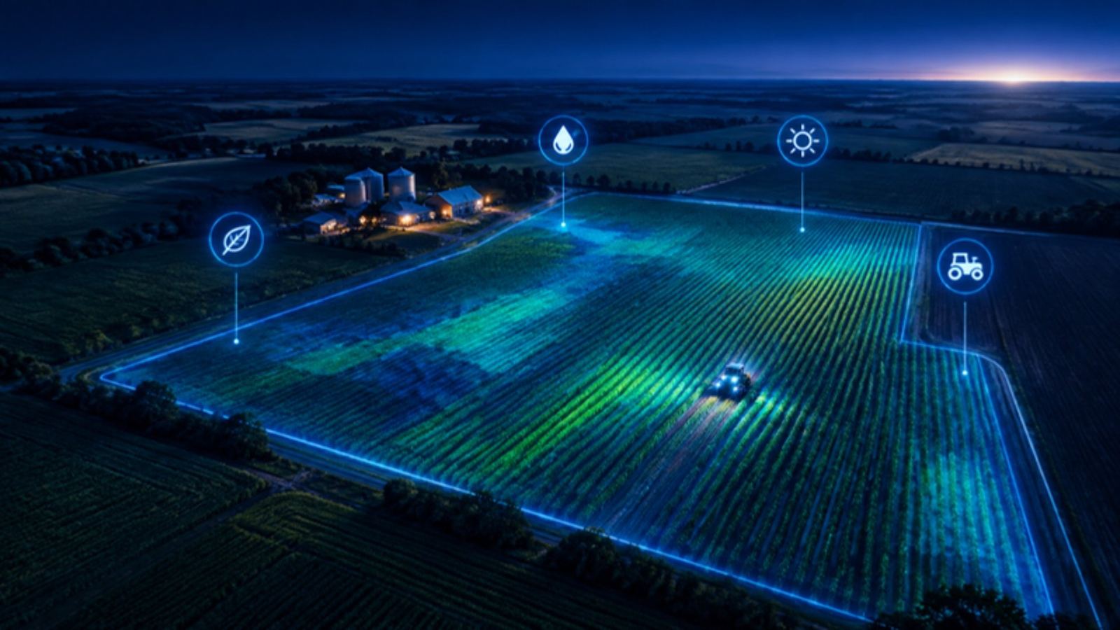
Crop health from satellites, farm and crop regions, supply and demand balances and local food prices on one map. See where harvests are at risk and how that reaches markets.
For agribusiness, commodity traders, food-security and development teams.
Live numbers
Counted from our live data.
Questions it answers
- How healthy are crops in a region this season?
- What is the supply and demand outlook for a crop?
- How are local food prices moving?
- Which farm regions are hit by drought, fire or flooding?
How teams use it
Harvest outlook
Follow crop signals through the season in the regions you buy from.
Food security
Watch local food prices and supply in vulnerable countries.
Weather risk
Overlay fires and rainfall on farm regions.
What you get
- Live map with the module's layers
- News & updates filtered to the subject
- Events & shows for the industry
- Reports you can download
Common questions
Which crops are covered?
Major grains, oilseeds and other staple crops, with country statistics for many more.
How fresh is the data?
Live feeds such as positions, fires and alerts update every few minutes; registers and statistics update as soon as the official publisher releases a new edition. Every record shows when it was last updated.
Can I use it with my other modules?
Yes. Every module shares the same map, search and side sheet, so layers from all your modules sit together. Data from modules you do not subscribe to shows as a count with a link to add it.
Can I download what I see?
Reports can be downloaded from the Reports tab. Tables can be exported where the plan includes exports.