Weather, Fire, Disasters & Climate
Weather, fire, disasters and climate
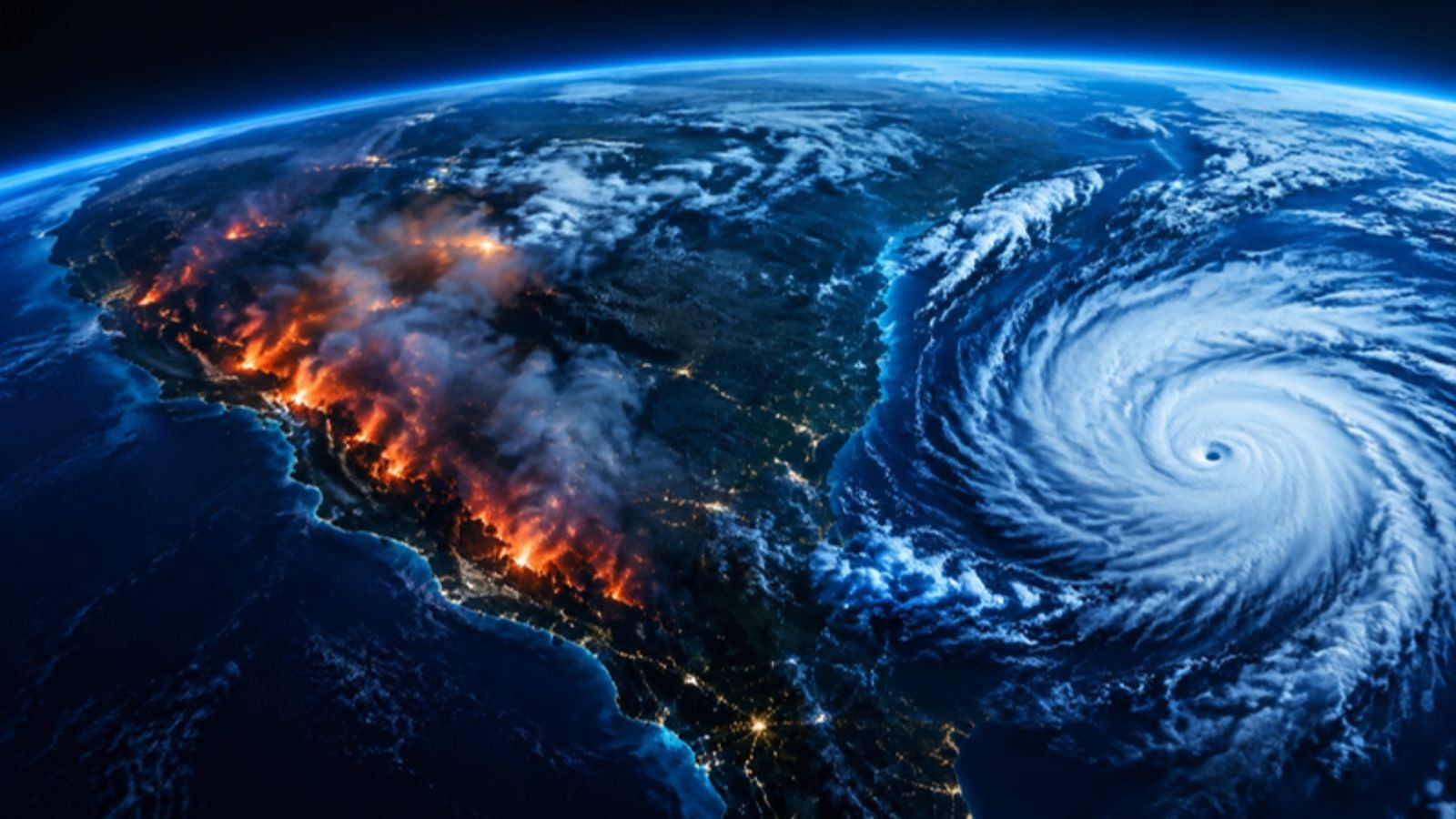
Fires detected from space, disaster alerts, weather warnings, rainfall and ocean conditions on one map. Climate data sits behind it for the long view.
For agriculture, insurance, logistics, utilities and emergency teams.
Live numbers
Counted from our live data.
Questions it answers
- Where are fires burning right now?
- Which warnings and disaster alerts are active in my regions?
- How much rain has fallen at a site this season?
- What are sea and wave conditions offshore?
How teams use it
Wildfire watch
See new fire detections near your sites within hours.
Disaster response
Track alerts and warnings across every country you operate in.
Site conditions
Check daily rainfall and sea conditions where your work depends on weather.
What you get
- Live map with the module's layers
- News & updates filtered to the subject
- Events & shows for the industry
- Reports you can download
Common questions
Is it a weather forecast app?
It focuses on hazards and conditions that affect operations: fires, alerts, warnings, rainfall and sea state.
How fresh is the data?
Live feeds such as positions, fires and alerts update every few minutes; registers and statistics update as soon as the official publisher releases a new edition. Every record shows when it was last updated.
Can I use it with my other modules?
Yes. Every module shares the same map, search and side sheet, so layers from all your modules sit together. Data from modules you do not subscribe to shows as a count with a link to add it.
Can I download what I see?
Reports can be downloaded from the Reports tab. Tables can be exported where the plan includes exports.