Humanitarian & Public Services
Humanitarian crises and public services
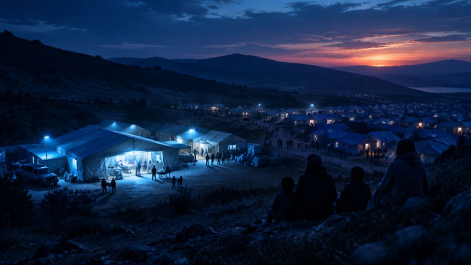
Hospitals, clinics, schools and refugee camps mapped worldwide, with displacement flows and crisis news. See which people and services sit in the path of a disaster or conflict.
For NGOs, UN agencies, health planners and public-sector teams.
Live numbers
Counted from our live data.
Questions it answers
- Which health facilities and schools are in an affected area?
- Where are people being displaced to and from?
- Where are refugee camps, and how are they reached?
- What services are nearest to a location?
How teams use it
Response planning
List the facilities inside a flood, quake or conflict zone in minutes.
Displacement
Follow flows of people between countries and regions.
Service gaps
Find areas far from the nearest hospital or school.
What you get
- Live map with the module's layers
- News & updates filtered to the subject
- Events & shows for the industry
- Reports you can download
Common questions
Is the facility data complete?
Coverage is broad and keeps growing; each facility shows when it was last updated.
How fresh is the data?
Live feeds such as positions, fires and alerts update every few minutes; registers and statistics update as soon as the official publisher releases a new edition. Every record shows when it was last updated.
Can I use it with my other modules?
Yes. Every module shares the same map, search and side sheet, so layers from all your modules sit together. Data from modules you do not subscribe to shows as a count with a link to add it.
Can I download what I see?
Reports can be downloaded from the Reports tab. Tables can be exported where the plan includes exports.